Share
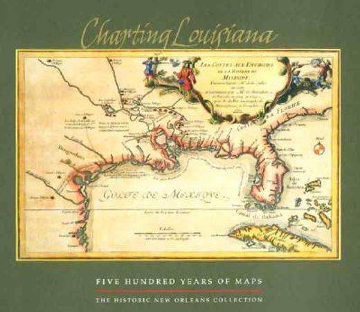
charting louisiana,five hundred years of maps
Alfred E. Lemmon
(Illustrated by)
·
John T. Magill
(Illustrated by)
·
Jason R. Wiese
(Illustrated by)
·
Historic New Orleans Collection
· Hardcover
charting louisiana,five hundred years of maps - Lemmon, Alfred E. ; Magill, John T. ; Wiese, Jason R.
£ 72.00
£ 80.00
You save: £ 8.00
Choose the list to add your product or create one New List
✓ Product added successfully to the Wishlist.
Go to My WishlistsIt will be shipped from our warehouse between
Monday, July 01 and
Wednesday, July 03.
You will receive it anywhere in United Kingdom between 1 and 3 business days after shipment.
Synopsis "charting louisiana,five hundred years of maps"
New Orleans thrived under Spanish rule (1762-1803), linked through trade and empire to the nerve centers of the circum-Caribbean. Curator Alfred E. Lemmon's introduction in this bilingual volume explores the far-reaching ways in which the Spanish influence is evident in the city to this day, in architecture, agriculture, science, and the arts. Two additional essays by noted scholars examine other facets of the city's development during this period: Light Townsend Cummins reflects on the city's role as an outpost of the Enlightenment in the Americas, while Richard Campanella explores the growth of city planning and urbanism. The Spanish period saw shifts in the legal landscape surrounding slavery, as well as the dramatic growth of the city's population of free people of color. The daily lives of New Orleanians, and the city's constant interaction with the Caribbean and the greater Spanish empire, are documented in the surviving examples of material culture, maps, manuscripts, and artworks presented here. Distributed for The Historic New Orleans Collection