Millions of books in English, Spanish and other languages. Free UK delivery 

menu

0
  • argentina
  • chile
  • colombia
  • españa
  • méxico
  • perú
  • estados unidos
  • internacional
portada North Carolina in Maps
Type
Physical Book
Language
Inglés
Pages
44
Format
Paperback
Dimensions
27.9 x 22.1 x 0.3 cm
Weight
0.14 kg.
ISBN13
9780865262577

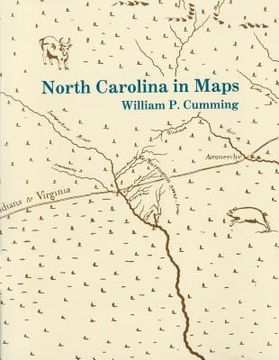
North Carolina in Maps

William P. Cumming (Author) · North Carolina Division of Archives & History · Paperback

North Carolina in Maps - Cumming, William P.

Physical Book

£ 11.33

  • Condition: New
Origin: U.S.A. (Import costs included in the price)
It will be shipped from our warehouse between Friday, July 05 and Wednesday, July 17.
You will receive it anywhere in United Kingdom between 1 and 3 business days after shipment.

Synopsis "North Carolina in Maps"

Presents a detailed introduction to each of the following maps: White 1585 MS, White-DeBry 1590, Mercator-Hondius 1606, Comberford 1657 MS, Ogilby-Moxon ca. 1672, Moseley 1733, Collet 1770, Mouzon 1775, Price-Strother 1808, MacRae-Brazier 1833, Colton 1861, Bachmann 1861, U.S. Coast Survey 1865, Kerr-Cain 1882, and Post Route 1896.

Customers reviews

More customer reviews
  • 0% (0)
  • 0% (0)
  • 0% (0)
  • 0% (0)
  • 0% (0)

Frequently Asked Questions about the Book

All books in our catalog are Original.
The book is written in English.
The binding of this edition is Paperback.

Questions and Answers about the Book

Do you have a question about the book? Login to be able to add your own question.
Opinions about Bookdelivery

More customer reviews