Share
Europe: Lambert Projection (os Wall Map)
Ordnance Survey (Author)
·
Ordnance Survey
· Map
Europe: Lambert Projection (os Wall Map) - Ordnance Survey
£ 10.79
£ 11.99
You save: £ 1.20
Choose the list to add your product or create one New List
✓ Product added successfully to the Wishlist.
Go to My WishlistsIt will be shipped from our warehouse between
Tuesday, May 28 and
Wednesday, May 29.
You will receive it anywhere in United Kingdom between 1 and 3 business days after shipment.
Synopsis "Europe: Lambert Projection (os Wall Map)"
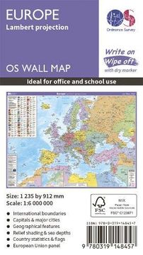
This wall map of Europe is shown in the Lambert Azimuthal equal area projection. This gives a map showing accurate sizes of countries, but with some distortion of the shapes. It shows international boundaries, major cities, towns, physical relief, key roads and rivers. It also has an inset with information on population, land area, currency, national flag, time zone and more. This map is gloss coated, so can be used with dry-wipe pens and is supplied flat and rolled in a cardboard storage tube. It's ideal for students, businesses or display.
- 0% (0)
- 0% (0)
- 0% (0)
- 0% (0)
- 0% (0)
All books in our catalog are Original.
The book is written in English.
The binding of this edition is Map.
✓ Producto agregado correctamente al carro, Ir a Pagar.

