Share
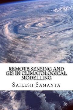
Remote Sensing and GIS in Climatological Modelling
Sailesh Samanta
(Author)
·
Createspace Independent Publishing Platform
· Paperback
Remote Sensing and GIS in Climatological Modelling - Samanta, Sailesh
Choose the list to add your product or create one New List
✓ Product added successfully to the Wishlist.
Go to My Wishlists
Origin: U.S.A.
(Import costs included in the price)
It will be shipped from our warehouse between
Monday, August 05 and
Wednesday, August 21.
You will receive it anywhere in United Kingdom between 1 and 3 business days after shipment.
Synopsis "Remote Sensing and GIS in Climatological Modelling"
This book presents an introductory course of study in Remote Sensing and Geographic information systems (GIS) and its application for climatological modelling. Remote Sensing, GIS and spatial modelling are becoming powerful tools in agricultural research and natural resource management. Spatial information about climate variables is very important for a sound agricultural planning. Many disciplines use these climate variables (temperature, precipitation, atmospheric pressure, cloudiness and humidity) as a basis to understand the processes they study. Evidently the information is limited to the available meteorological stations and therefore to discrete points of the space. To understand the weather and climatic condition over a continuous space (where weather or climate station is not present) one needs to resort to the modern techniques like spatial interpolation by GIS. So far the work on climatological interpolation dovetailed to themes like 'commercial agriculture' has been scanty. This book is focused on statistical model to forecast the temperature and the precipitation using remote sensing and geographic information system (GIS) techniques. It also examines statistical approaches for interpolating climatic data over large regions, providing different interpolation techniques for climate variables for use in agricultural research.
- 0% (0)
- 0% (0)
- 0% (0)
- 0% (0)
- 0% (0)
All books in our catalog are Original.
The book is written in English.
The binding of this edition is Paperback.
✓ Producto agregado correctamente al carro, Ir a Pagar.

