Share
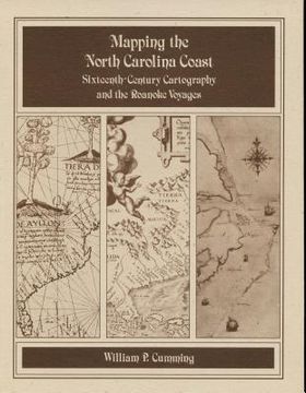
Mapping the NC Coast: Sixteenth-Century Cartography and the Roanoke Voyages
William P. Cumming
(Author)
·
North Carolina Division of Archives & History
· Paperback
Mapping the NC Coast: Sixteenth-Century Cartography and the Roanoke Voyages - Cumming, William P.
Choose the list to add your product or create one New List
✓ Product added successfully to the Wishlist.
Go to My Wishlists
Origin: U.S.A.
(Import costs included in the price)
It will be shipped from our warehouse between
Monday, June 03 and
Wednesday, June 19.
You will receive it anywhere in United Kingdom between 1 and 3 business days after shipment.
Synopsis "Mapping the NC Coast: Sixteenth-Century Cartography and the Roanoke Voyages"
Historical survey that examines the cartography known or available to the English colonists of 1584-1587 as well as that which they produced during their explorations. Includes twenty-eight map plates printed on high quality coated paper, the author's notes, and a useful appendix that lists sixteenth-century names for the southeastern North American coast and correlates them with modern names and landmarks.
- 0% (0)
- 0% (0)
- 0% (0)
- 0% (0)
- 0% (0)
All books in our catalog are Original.
The book is written in English.
The binding of this edition is Paperback.
✓ Producto agregado correctamente al carro, Ir a Pagar.

